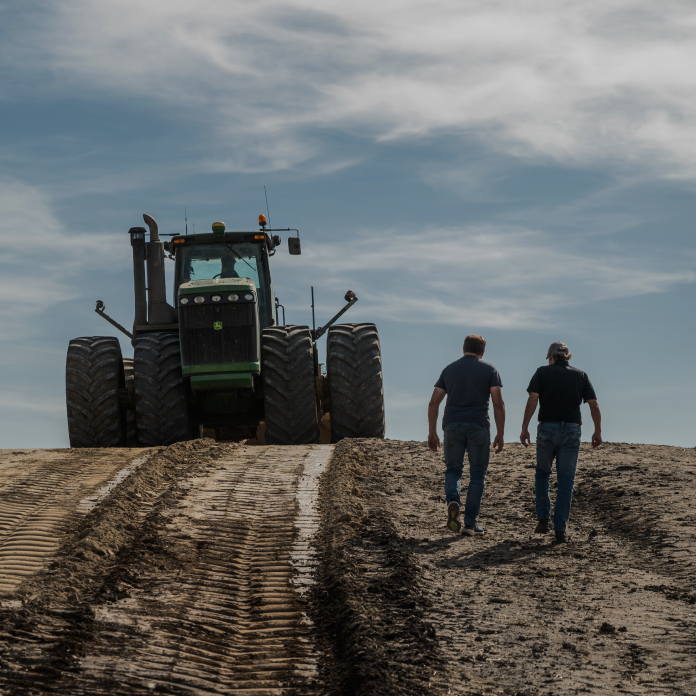
Our approach to surface drainage depends on project size and client needs, every project starts with consultation, surveying, and design, and finishes with GPS-controlled grading that ensures lasting results.
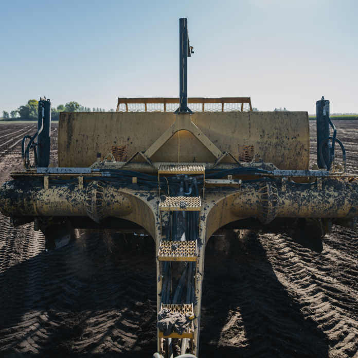
Large Projects – Begin with a full topographical survey, modelled in OptiSurface software to create a detailed drainage plan. After review with the client, the plan is uploaded to GPS-guided scrapers to carry out precision shaping.
Smaller Projects – Streamlined process with on-site surveying and immediate implementation, always tailored to field conditions.